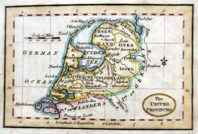
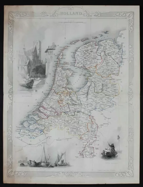
1759 Genuine Antique Map Netherlands, Holland Nice Cartouche. Robert De Vaugondy
Unsold See similar items £92.37 Buy It Now or Best Offer, £20.08 Shipping, 14-Day Returns, eBay Money Back Guarantee
Seller: antiqueatlas ✉️ (482) 0%,
Location: Troy, Montana, US,
Ships to: WORLDWIDE,
Item: 271839018118
1759 Genuine Antique Map Netherlands, Holland Nice Cartouche. Robert De Vaugondy. Genuine Antique "A New and Accurate map of the Netherlands from Sieur Roberts Atlas with Improvements", engraved for the Geographical Dictionary by J Gibson, 1759. This uncolored copperplate image shows the Netherlands bordered by the German Ocean, Country of Hainault, Country of Artois and Brabant. Many areas are labeled and an elegant cartouche decorates the upper left. Map is in good condition with some notching in the margins, not into image. Measures 7 7/8" x 11 1/2". NOT A REPRODUCTION. All of our items are genuine antiques as described.
- Condition: good
- Original/Reproduction: Original
- Maker: De Vaugondy
- Type: Map
PicClick Insights - 1759 Genuine Antique Map Netherlands, Holland Nice Cartouche. Robert De Vaugondy PicClick Exclusive
- Popularity - 0 watchers, 0.0 new watchers per day, 2,877 days for sale on eBay. 0 sold, 1 available.
- Best Price -
- Seller - 482+ items sold. 0% negative feedback. Good seller with good positive feedback and good amount of ratings.
People Also Loved PicClick Exclusive

 NETHERLANDS GERMANY RHINE BY CLUVER / BERTIUS c1661 GENUINE ANTIQUE ENGRAVED MAP£70.00 Buy It Now
 2 watchers
 NETHERLANDS BELGIUM LUXEMBOURG THOMAS KITCHIN c1792 GENUINE ANTIQUE ENGRAVED MAP£39.99 Buy It Now
 1 watcher
 HOLLAND MINIATURE ENGRAVED MAP c1808 GENUINE ANTIQUE COPPER PLATE MAP£24.99 Buy It Now
 BELGIUM HOLLAND GALLIA BELGICA BY CELLARIUS c1703 GENUINE ANTIQUE ENGRAVED MAP£95.00 Buy It Now
c1860 HOLLAND NETHERLANDS Genuine Antique Map by Rapkin Published by Tallis
£29.00 Buy It Now or Best Offer
