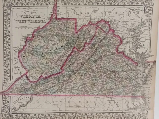
1873 Mitchell's Atlas Map Virginia and West Virginia Authentic Hand-colored
Seller: bigstarchild1968 ✉️ (1,341) 100%,
Location: Swampscott, Massachusetts, US,
Ships to: US & many other countries,
Item: 325302350603
1873 Mitchell's Atlas Map Virginia and West Virginia Authentic Hand-colored. 1873 Mitchell's Atlas Map Virginia and West Virginia Authentic Hand-colored 12 x 16" Very good condition. minimum wear and foxing along the edges. THIS MAP IS VERY FRAMABLE! See the photos as the map in the photos is the map you will receive.
- Condition: Very good condition. Some light foxing and wear along the edges. THIS MAP IS VERY FRAMABLE! See the photos as the map in the photos is the map that you will receive.
- Year: 1873
- Date Range: 1800-1899
- Type: County Map
- Printing Technique: Lithography
- Format: Atlas Map
- US State: Virginia, West Virginia
- Cartographer/Publisher: Samuel Augustus Mitchell
- Original/Reproduction: Antique Original
- Country/Region: United States of America
PicClick Insights - 1873 Mitchell's Atlas Map Virginia and West Virginia Authentic Hand-colored PicClick Exclusive
- Popularity - 0 watchers, 0.0 new watchers per day, 614 days for sale on eBay. 0 sold, 1 available.
- Best Price -
- Seller - 1,341+ items sold. 0% negative feedback. Great seller with very good positive feedback and over 50 ratings.
People Also Loved PicClick Exclusive
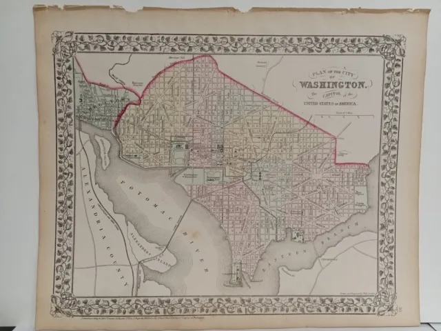
1873 Mitchell's Atlas Map, City Plan of Washington D.C. Authentic Hand-Colored
£60.24 Buy It Now 24d 12h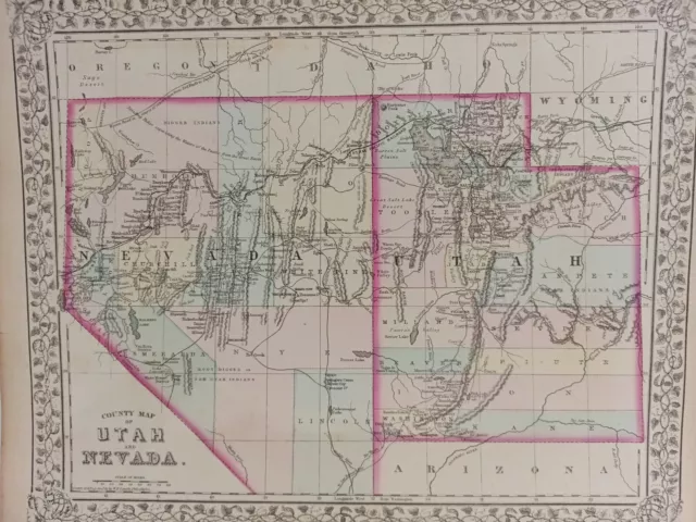
1873 Mitchell's Atlas Map Utah and Nevada, Authentic Hand-Colored 12 x 16"
£60.24 Buy It Now 25d 13h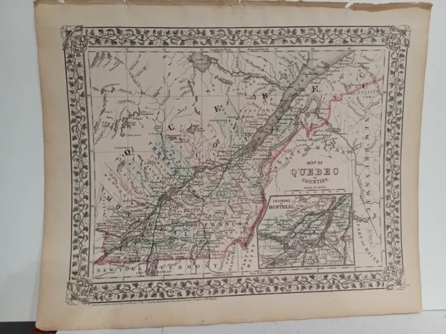
1873 Mitchell's Map Of Quebec counties Authentic Hand-colored Antique Montreal
£60.24 Buy It Now 24d 13h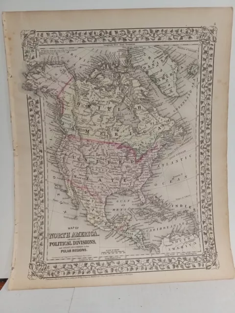
1873 Mitchell's Map Of North America Political Divisions Authentic Hand-colored
£60.24 Buy It Now 24d 13h
1873 Mitchell's Atlas Map Michigan and Wisconsin Authentic Hand-Colored 12 x 16"
£60.24 Buy It Now 25d 13h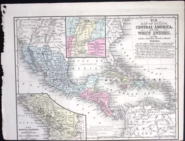
1866 Mitchells School Atlas Map Engraved Illustration West indies Latin America
£20.07 Buy It Now
C. 1870s Hand-Colored Atlas Map Of Tioga, Rutland, Etc. PA 15.5 x 23.75”
£40.16 Buy It Now or Best Offer
