J & C Walker's hand coloured map of LEICESTERSHIRE 1844 (folded)
£17.50 0 Bids 4d 23h 29m 16s, £1.55 Shipping, 14-Day Returns, eBay Money Back Guarantee
Seller: angarrack1944 ✉️ (4,779) 100%,
Location: Chard, GB,
Ships to: GB,
Item: 226125334626
J & C Walker's hand coloured map of LEICESTERSHIRE 1844 (folded).
AREA: Liecestershire
PUBLISHED BY: J & C Walker
EDITION: County map SIZE: 16.5 by 13.5 inches approx SCALE: 3.3 mile to the inch. DATE: Dated 1844
STATE OF COVERS: Extremely good
STATE OF MAP: Extremely good.
MAP Paper/Cloth: Cloth dissected NOTES:
Postage discount on two or more purchases.
- Antique: Yes
- Date Range: 1800-1899
- Type: Topographical Map
- Format: Folding Map
- Year: 1844
- Era: 1800s
- Original/Reproduction: Antique Original
- Country/Region: England
- County: Leicestershire
PicClick Insights - J & C Walker's hand coloured map of LEICESTERSHIRE 1844 (folded) PicClick Exclusive
- Popularity - 0 watchers, 0.0 new watchers per day, 3 days for sale on eBay. 0 sold, 1 available.
- Best Price -
- Seller - 4,779+ items sold. 0% negative feedback. Great seller with very good positive feedback and over 50 ratings.
People Also Loved PicClick Exclusive
J & C Walker's hand coloured map of BERKSHIRE c 1865 (folded)
£17.70 0 Bids 4d 23h
1880s Map Dorsetshire by J & C Walker Hand Coloured Parliamentary Divisions
£26.00 Buy It Now 1d 2h
Georgian County Map of Leicestershire (c1820) Hand Coloured, Leicester, Wallis
£9.99 0 Bids 6d 1h
UK Great Britain Ireland antique Victorian geological map J Wyld 1844 art poster
£18.90 Buy It Now 6d 6h
Cornwall England 1844 By Walker Original Folding Map With Scilly Isles In Color
£51.01 0 Bids 6d 4h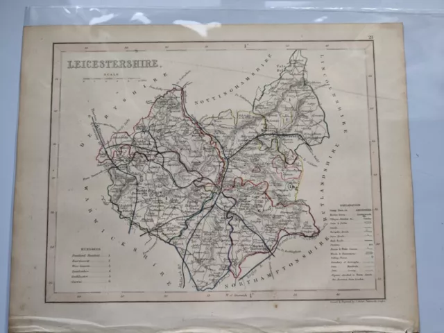
County map of Leicestershire England hand coloured c1860
£9.00 Buy It Now 29d 16h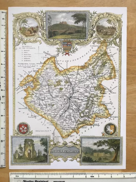
Old Antique Victorian map of Leicestershire, England: c1830's: Moule: Reprint
£5.99 Buy It Now 28d 1h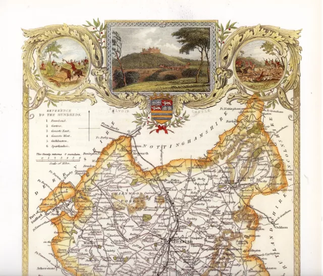
A 1990 reproduction of an 1830 map by Thomas Moule of County Leicestershire
£10.00 Buy It Now 20d 2h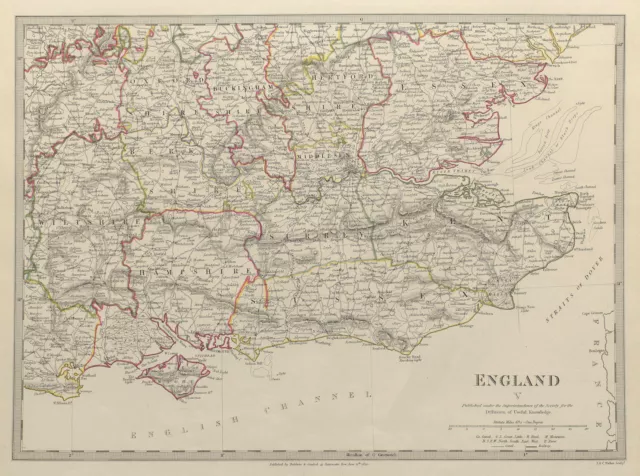
ENGLAND SE Middx Kent Sussex Surrey Hants Berks Essex Herts. SDUK 1844 old map
£11.00 Buy It Now 16d 20h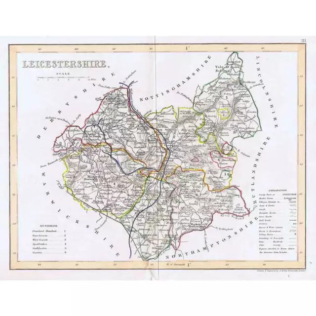
LEICESTERSHIRE Antique Coloured Map c1840s by Archer - Dugdales
£9.99 Buy It Now 27d 18h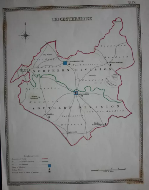
Original antique map LEICESTERSHIRE POLITICAL Samuel Lewis, J&C Walker, c.1835
£16.50 Buy It Now 5d 11h
IBERIA. Spain and Portugal showing provinces. SDUK 1844 old antique map chart
£19.00 Buy It Now 1d 20h
FRANCE NORTH WEST. Bretagne Normandie Loire Centre.Hand coloured.SDUK 1844 map
£17.00 Buy It Now 8d 15h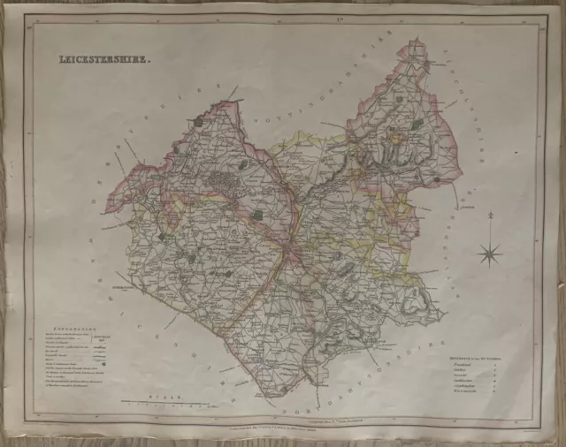
1830 Leicestershire by Hoare & Reeves Large Antique Hand Coloured Map
£34.99 Buy It Now 26d 15h
Antique county map of LEICESTERSHIRE by Creighton & Walker for Lewis c1840
£13.00 Buy It Now 28d 19h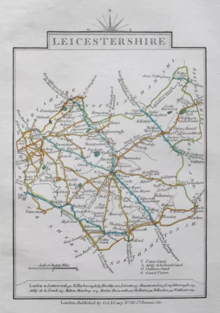
LEICESTERSHIRE 1828 Miniature Antique Map by Cary Hand Coloured
£15.00 Buy It Now 17d 20h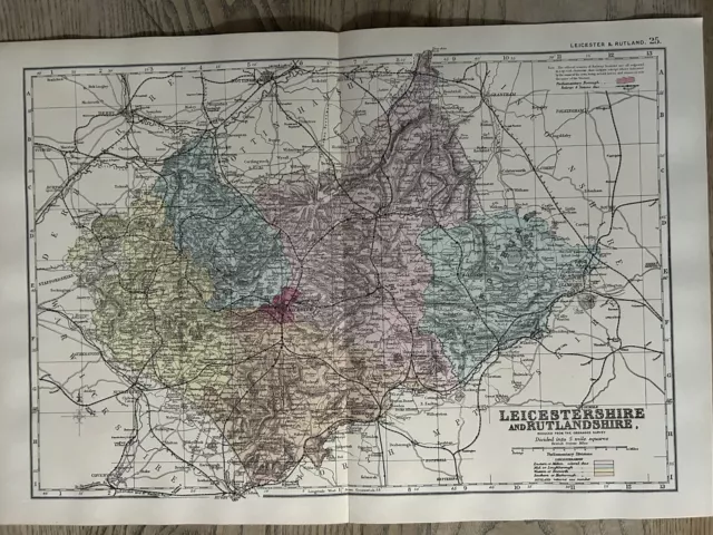
1885 Leicestershire & Rutland Original Hand Coloured Antique Map by G.W. Bacon
£19.99 Buy It Now 3d 3h
Fine 1844 Large Antique Teesdale / Dower Hand Coloured Map Of France
£29.99 Buy It Now 19d 21h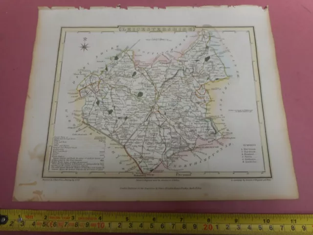
100% Original Leicestershire Map By Roper Cole C1809 Vgc Hand Coloured
£9.95 Buy It Now 28d 22h
1808 Leicestershire Original Antique Hand Coloured County Map 212 Years Old
£19.99 Buy It Now 6d 20h
An Antique Hand Coloured Map of Leicestershire Late 1700's/Early 1800's
£24.99 Buy It Now 10d 14h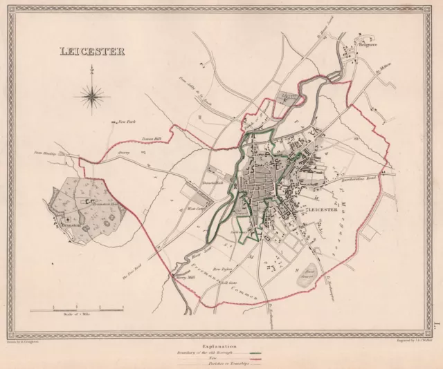
LEICESTER town & borough plan. Leicestershire. CREIGHTON/WALKER 1835 old map
£17.00 Buy It Now 18d 13h
100% Original Leicestershire Map By H Moll C1734 Scarce Hand Coloured
£30.00 Buy It Now 5d 22h
LEICESTERSHIRE, Darton Original Hand Coloured Miniature Antique County Map c1822
£30.00 Buy It Now 13d 20h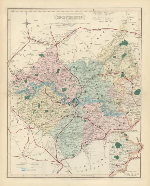
Leicestershire antique county map by J & C Walker. Railways & boroughs 1870
£31.00 Buy It Now 8d 15h
1764 Original Antique Map - LEICESTERSHIRE by Thomas KITCHIN Hand coloured (22)
£33.00 Buy It Now 29d 15h
1733 - Rare Antique Map of LEICESTERSHIRE by Herman Moll hand coloured (10)
£49.50 Buy It Now 29d 13h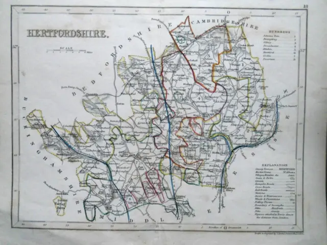
Original Antique Hand Coloured Map of Hertfordshire (c1840s) - J Archer, County
£14.99 Buy It Now 15d 22h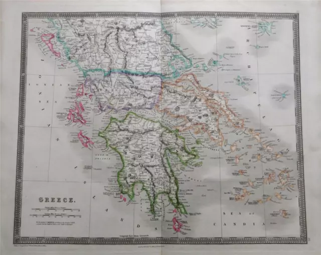
Fine 1844 Large Antique Teesdale / Dower Coloured Map Of Greece & Greek Islands
£45.99 Buy It Now 12d 16h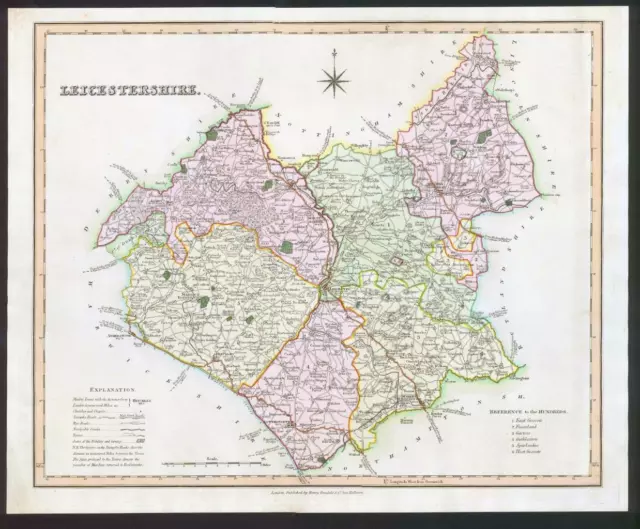
1831 - LEICESTERSHIRE Original Antique LARGE COLOURED Map by HENRY TEESDALE
£33.00 Buy It Now 29d 15h
City of Lincoln from Brayford Pool, Hand Coloured Aquatint Pubd. E Walker 1807
£55.00 Buy It Now 1 watcher
Derby Map Walker & Creighton Hand Coloured map of Derby
£24.00 Buy It Now or Best Offer
Late 1800 J & C Walker Walkers Map Norfolk Hand Coloured Map Gd Con
£40.00 Buy It Now or Best Offer
Herefordshire antique county map by J & C Walker. Hand coloured 1835 old
£35.00 Buy It Now
Hand Coloured Antique Map 1835 - Huntingdonshire by J&C Walker
£6.99 Buy It Now
HERTFORDSHIRE, Walker Hand Coloured Antique County Railway Map 1877
£38.00 Buy It Now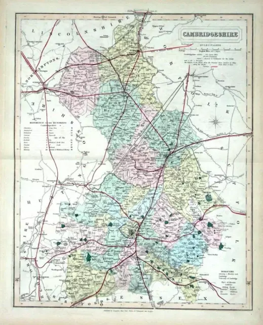
CAMBRIDGESHIRE, Walker Hand Coloured Antique County Railway Map , 1877
£38.00 Buy It Now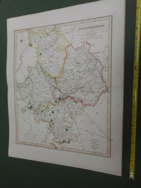
100% Original Huntingdonshire Map By Walker C1843 Vgc Hand Coloured Railways
£12.00 Buy It Now
100% Original Durham Map By Walker C1843 Vgc Hand Coloured Railways
£20.00 Buy It Now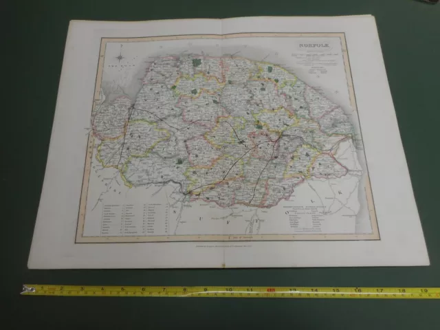
100% Original Norfolk Map By Walker C1843 Vgc Hand Coloured Railways
£30.00 Buy It Now 2 watchers
1848 Flintshire, Wales Original Antique Hand Coloured Map 172 Years Old
£19.99 Buy It Now or Best Offer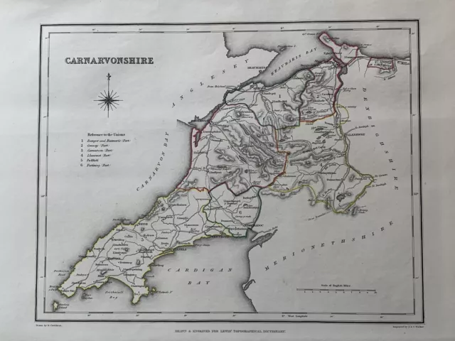
1848 Caernarfonshire, Wales Original Antique Hand Coloured Map 172 Years Old
£19.99 Buy It Now or Best Offer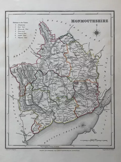 1 watcher
1848 Monmouthshire, Wales Original Antique Hand Coloured Map 172 Years Old
£19.99 Buy It Now or Best Offer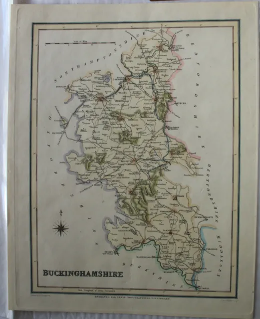
Antique Map of BUCKINGHAMPSHIRE by Walker & Creighton, c1840 - hand coloured
£15.00 Buy It Now or Best Offer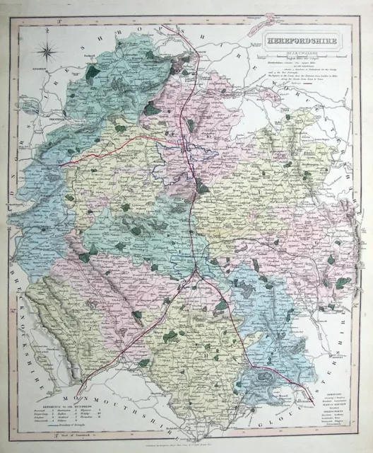
HEREFORDSHIRE, WALKER, railways, original hand coloured antique map 1858
£25.00 Buy It Now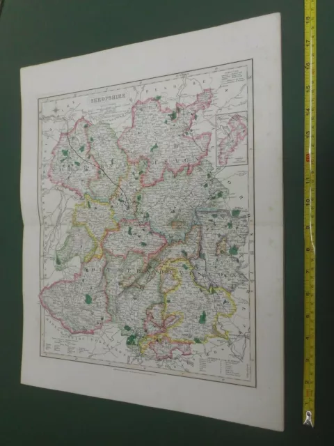 2 watchers
100% Original Shropshire Map By Walker C1843 Vgc Hand Coloured Railways
£20.00 Buy It Now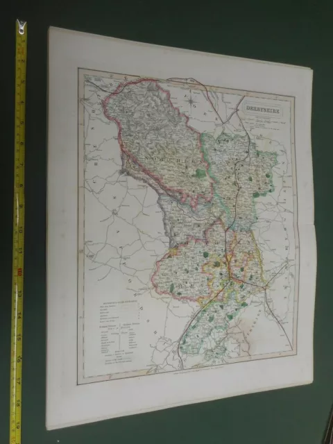
100% Original Derbyshire Map By Walker C1843 Vgc Hand Coloured Railways
£20.00 Buy It Now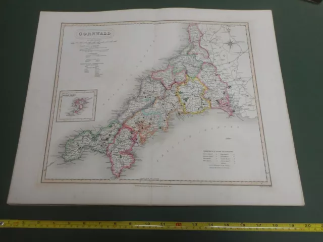
100% Original Cornwall Map By Walker C1843 Vgc Hand Coloured Railways
£35.00 Buy It Now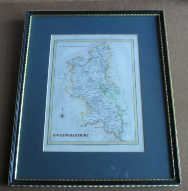
Creighton/Walker Buckinghamshire Hand Coloured Map 1831 Lewis' Topographical F&G
£30.00 Buy It Now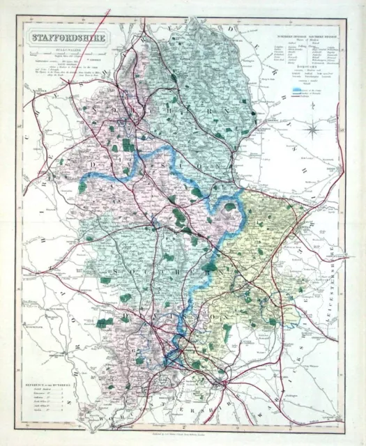
STAFFORDSHIRE, Walker Hand Coloured Antique County Railway Map , 1877
£35.00 Buy It Now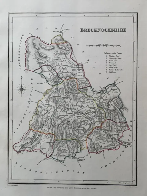 2 watchers
1848 Brecknockshire, Wales Original Antique Hand Coloured Map 172 Years Old
£19.99 Buy It Now or Best Offer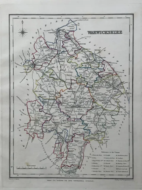 3 watchers
1848 Warwickshire Original Antique Hand Coloured County Map 172 Years Old
£19.99 Buy It Now or Best Offer


