1889 Chicago Map with Downtown Inset, Rand McNally Standard World Atlas Map
£40.12 Buy It Now, Click to see shipping cost, 30-Day Returns, eBay Money Back Guarantee
Seller: thepostcardvault ✉️ (6,276) 99.2%,
Location: Stevens Point, Wisconsin, US,
Ships to: US & many other countries,
Item: 164966467086
1889 Chicago Map with Downtown Inset, Rand McNally Standard World Atlas Map.
I have for sale one 1889 Chicago Map with Downtown Inset, Rand McNally Standard World Atlas Map.
Consider using the eBay Photo Magnifier (the zoom feature) to examine the listing photo(s). Sometimes this will reveal imperfections that would otherwise not be visible. Message me if you have a specific question about a map.
Returns accepted. All orders ship as a United States Post Office (USPS) First Class Package with tracking. Thank you for your business!
MAP1
- Condition: Some maps may have slight damage around the edges. To permit custom framing, I am leaving the borders untrimmed/as found. Faint ghosting in lower Lake Michigan area. Text/illustrations on reverse.
- US State: Illinois
- City: Multiple
- Format: Atlas Map
- Date Range: 1800-1899
- Type: World Atlas
- Original/Reproduction: Antique Original
- Country/Region: United States of America
- Cartographer/Publisher: Rand McNally & Co.
- Year: 1889
- Measurement (inches): 14 x 11
PicClick Insights - 1889 Chicago Map with Downtown Inset, Rand McNally Standard World Atlas Map PicClick Exclusive
- Popularity - 0 watchers, 0.0 new watchers per day, 1,003 days for sale on eBay. 0 sold, 1 available.
- Best Price -
- Seller - 6,276+ items sold. 0.8% negative feedback. Great seller with very good positive feedback and over 50 ratings.
People Also Loved PicClick Exclusive

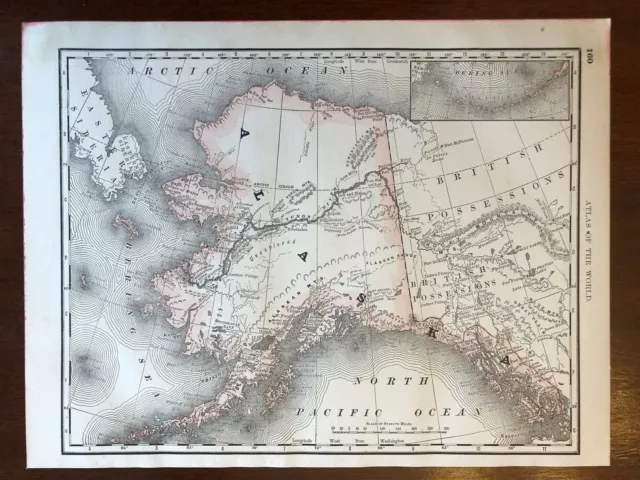
1889 Alaska Territory Map with Bering Sea, Rand McNally Standard World Atlas Map
£36.10 Buy It Now 2d 8h
1889 Georgia Map, Rand McNally Standard World Atlas Map
£36.10 Buy It Now 2d 9h
1889 Arkansas Map, Rand McNally Standard World Atlas Map
£36.10 Buy It Now 1d 6h
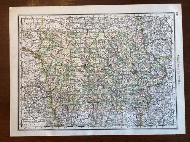
1889 Iowa Map, Rand McNally Standard World Atlas Map
£36.10 Buy It Now 1d 6h
1889 Alabama Map, Rand McNally Standard World Atlas Map
£36.10 Buy It Now 1d 6h
Handy Guide to Boston and Environs - 1910 Edition with Trolley Map
£44.17 Buy It Now or Best Offer 2 watchers
Rand McNally and Company / RAND McNALLY STANDARD INDEXED MAP WITH AIR #295383
£67.47 Buy It Now or Best Offer 2 watchers
Rand McNally and Company / RAND McNALLY STANDARD INDEXED MAP WITH AIR #291424
£67.47 Buy It Now or Best Offer
Vintage 1964 Gray Line Travel Motor Tours See Chicago Brochure With Downtown Map
£14.45 Buy It Now or Best Offer 1 watcher
Rare 1885 Rand McNally & Co.'s Overland Western guide with folding colored Map
£220.87 Buy It Now or Best Offer

