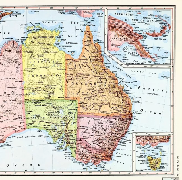
1956 Australia Map Melbourne Sydney Adelaide Brisbane Rockhampton Newcastle
£46.58 Buy It Now or Best Offer, Click to see shipping cost, eBay Money Back Guarantee
Seller: selsa84 ✉️ (5,103) 100%,
Location: Carefree, Arizona, US,
Ships to: US & many other countries,
Item: 326092137453
1956 Australia Map Melbourne Sydney Adelaide Brisbane Rockhampton Newcastle. ORIGINAL VINATGE 1956 COLOR MAP OF AUSTRALIA SHOWING STATES, TOWNSHIPS AND RAILROAD ROUTES DATE-1956, NOT DATED ON MAP PUBLISHED BY-RAND MCNALLY AND COMPANY SOURCE/REMOVED FROM -RAND MCNALLY COSMOPOLITAN WORLD ATLAS ORIGINAL 1956 COLOR MAP OF AUSTRALIA . MAP SHOWS STATES, TOWNSHIPS, COUNTIES, WATERWAYS AND ALL EXISTING RAILROAD ROUTES. RAILROAD ROUTES ARE SHOWN IN RED LINE. MAP HAS A SCALE OUTSIDE BORDER IN MILES AND KILOMETERS. BEAUTIFULLY COLORED AND VERY DETAILED MEASURES 14 X 11 INCHES ENTIRE SHEET VERY GOOD CONDITION, MAP ON REVERSE
- Date Range: 1950-1959
- Type: map
- Format: Atlas Map
- Printing Technique: Lithography
- Year: 1956
- State/Territory: Australian Capital Territory, Jervis Bay Territory, New South Wales, Northern Territory, Queensland, South Australia, Victoria, Western Australia
- Cartographer/Publisher: Rand McNally & Co.
- Original/Reproduction: Vintage Original
- City: Sydney
- Country/Region: Australia
PicClick Insights - 1956 Australia Map Melbourne Sydney Adelaide Brisbane Rockhampton Newcastle PicClick Exclusive
- Popularity - 0 watchers, 0.0 new watchers per day, 2 days for sale on eBay. 0 sold, 1 available.
- Best Price -
- Seller - 5,103+ items sold. 0% negative feedback. Great seller with very good positive feedback and over 50 ratings.
People Also Loved PicClick Exclusive
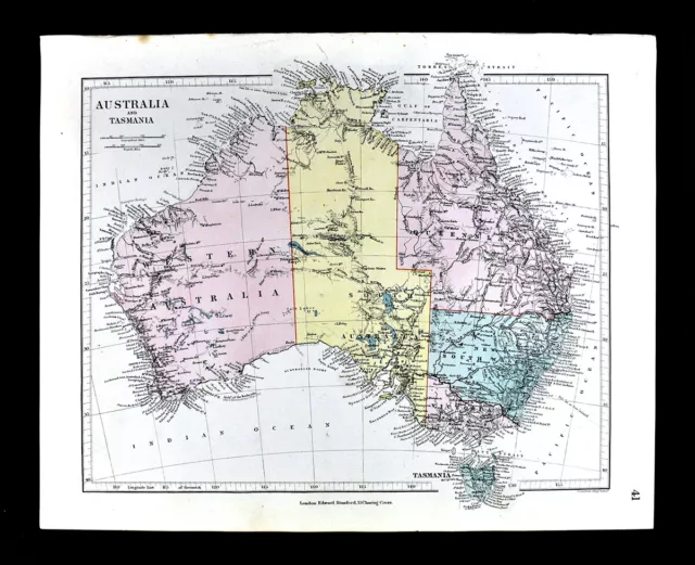
1885 Stanford Map Australia Sydney Melbourne Adelaide Brisbane Perth Antique
£48.19 Buy It Now 11d 17h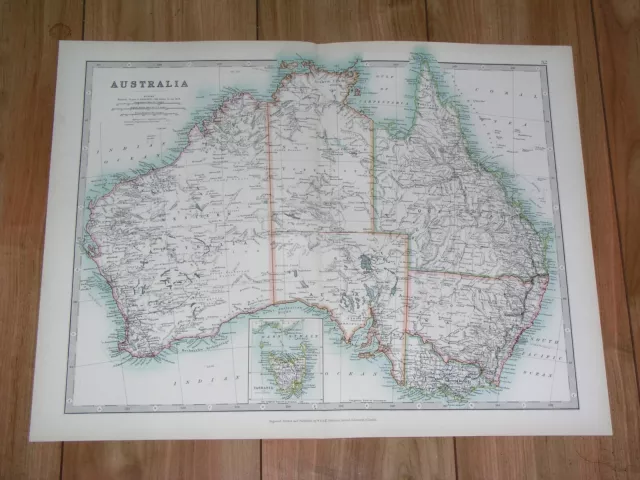
1907 Antique Map Of Australia / Melbourne Sydney Brisbane Adelaide Perth
£20.91 Buy It Now 24d 14h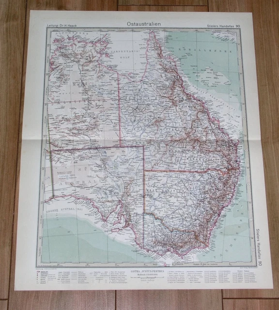
1932 Original Vintage Map Eastern Australia Melbourne Sydney Brisbane Adelaide
£15.21 Buy It Now 24d 14h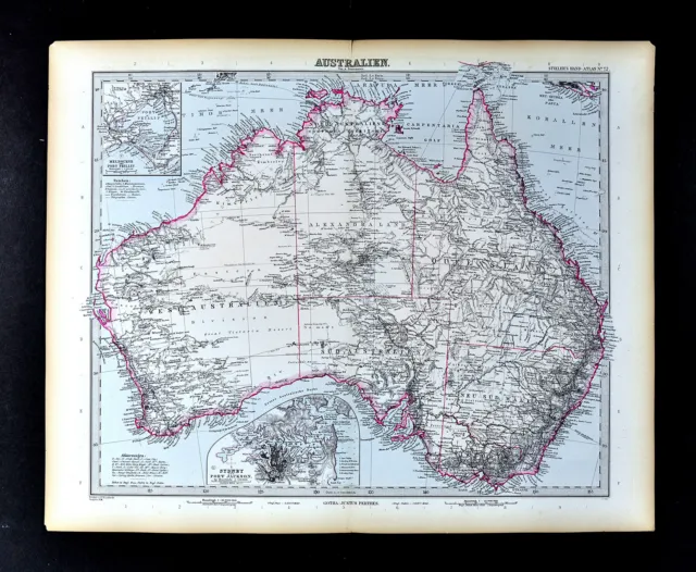
1892 Stieler Map Australia Sydney Melbourne Perth Adelaide Brisbane Alice Spring
£25.69 Buy It Now 11d 17h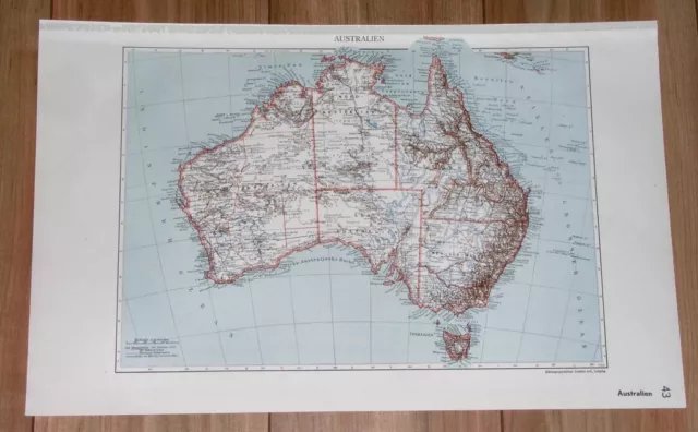
1935 Original Vintage Map Of Australia Perth Melbourne Sydney Adelaide Brisbane
£15.21 Buy It Now 24d 14h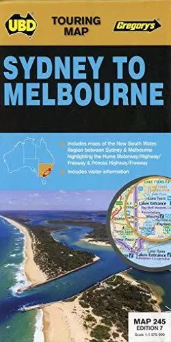
Sydney to Melbourne NP (Touring Map), Universal Publish
£99.99 Buy It Now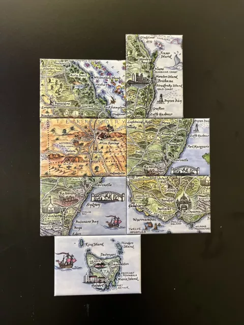
Journey Jottings Australia Map Magnets Sydney Byron Bay Melbourne Uluru Tasmania
£4.02 Buy It Now

