Approx. 1780 Norfolk Island Norfk Ailen Australia Map Copperplate Antique Print
Approx. 1780 Norfolk Island Norfk Ailen Australia Map Copperplate Antique Print The description of this item has been automatically translated. If you have any questions, please feel free to contact us.
Many more old maps, graphics and antiquarian books in our eBay shop! We also buy!
Cook, James: "Isle Norfolk" - Norfolk Island Norfk Ailen Australia map map copper engraving
1780.
original copperplate engraving from approx. 1780 - from the Atlas of James Cook's Third Voyage | original copper engraving from circa 1780 out of the atlas from James Cook's third voyage - sheet mass approx. 19 x 25.5 cm - in good condition. - in very good condition. | | -------- Cook's Third Voyage (1776-1779) During his first and second voyage, Cook circumnavigated the globe twice. He had sailed into the Antarctic extensively and had charted the coastlines from Newfoundland to New Zealand. Cook's third voyage was organized to seek a more efficient route from England to both southern and eastern Asia without involving rounding the Cape of Good Hope.Since the beginning of the European expansion in the later fifteenth century, the search for a Passage more Northwest or even Northeast had been on the agenda of lots of northern European mariners and merchants. Incentive for the latest exploration for this specific route was England's growing interests in India, economical as well as colonial, in the late eighteenth century. Cook, who again was in command of this Resolution, was to approach the Northwest Passage from the Pacific. The Discovery, a second ship captained by Charles Clerke, was to accompany him. After leaving England separately, they regrouped at Cape Town and went from there to Tasmania, New Zealand and also Tahiti. They then continued to sail north and made landfall at the Christmas Island and Hawaiian Islands. Cook went further northward and charted the American west coast from northern California as far as the Bering Strait. When he returned to Hawaii for the winter, he was killed in an encounter with natives on February 14, 1779. Clerke took over the command of the expedition after Cook's death, but died several months later in August. Both ships returned to England in 1780, commanded by John Gore who had taken over the Discovery after Cook's death. The voyage had lasted a total of more than four years from start to finish. James Cook James Cook was born on 7 November 1728 in the Yorkshire village of Marton. His father was a poor Scottish farm laborer, who had worked his way up to supervisor. James also started as a farm laborer and grocer's assistant. Soon he found employment in a necklace on the Baltic Sea. During the Seven Year's War in 1755, he volunteered for service and enlisted as an able seaman on the Eagle. He was promoted to master's mate under Captain Joseph Hamar within a month due to his outstanding ability. About four years later he had passed his master's examinations. James Cook, commanding his own ship, performed a very crucial charting and mapping of the Saint Lawrence River making the great amphibious assault upon Quebec City in 1759 possible. He was given command of the schooner Grenville in 1763 to survey the eastern coasts of Canada over a four year period. These excellent charts were used until the early 20th century. In 1768 James Cook was elected to lead an expedition to observe the transit of Venus as well as to explore new lands in the Pacific Ocean. In his first Pacific voyage, he rounded Cape Horn in the Endeavor reaching Tahiti on 3 June 1769. The transit of Venus was successfully observed after recovering a necessary scientific instrument stolen by the natives. The Endeavor then spent six months charting New Zealand. Next Cook explored and claimed possession of eastern Australia. The crew suffered an appalling 43% fatality rate after returning to England, on 12 June 1771, via New Guinea, Java and the Cape of Good Hope. James Cook thus became very concerned about crew health on subsequent voyages. He instituted compulsory dietary reforms that were copied by several other ship captains. The reason of Captain Cook's second Pacific Ocean voyage was to confirm the existence of a theorized Great Southern Continent. His ship the Resolution, which was accompanied by the Adventure, departed Plymouth on July 13, 1772 and again sailed around the Cape of Good Hope. Beset by ice, he unfortunately wasn't able to reach Antarctica. Although its existence was suspected, James Cook demonstrated, by traversing large areas of the south Pacific, that it would have to be a frigid wasteland, and not a economically productive addition to the British empire. With the incredible accuracy of only 3 miles James Cook charted many of the South Pacific Islands. This incredible accuracy was made possible by a new and highly accurate clock. Both ships returned to England on July 29, 1775, via Cape Horn. The experimental diets and close attention to cleanliness had a miraculous effect: out of a crew of 118, only one man was lost to disease. The many paintings by the artists were widely displayed and published as engravings, due to high public interest. Furthermore, James Cook was awarded the Copley Gold Medal and elected as a fellow of the Royal Society. The third and last great voyage is significantly important to the history of the west coast of North America. Primarily Captain Cook and his men were searching for the Northwest Passage from the Pacific Ocean to the Atlantic Ocean. The ships both sailed around the Cape of Good Hope to reach the west coast of America in February of 1778. They continued north along the coast in haste to the Bering Sea and Bering Strait in an attempt to pass through the Arctic Ocean during the summer season. Foiled by ice, James Cook returned to Hawaii to prepare for another attempt at the Northwest Passage in the next season. A storm damaged the forest mast of the Resolution soon after they had departed and forced them to return to Kealakekua Bay for repairs. Unfortunately, they had previously overstayed their welcome and relations became tense. The theft of a ship's cutter led Captain Cook to put ashore to demand the return of the boat. A fight broke out and James Cook was killed on 14 Feb 1779 by irked natives. Although his crew made another attempt at the Northwest Passage, they were unsuccessful. The expedition did identify the possibilities of trade with the coastal American natives for otter seal furs for example, which could then be bartered for Chinese goods that were highly prized in England. -------- | Original! - No emphasis! - No copy! | This is an original! - No reprint! - No copy!
Order number: 129087
Many more antique maps and prints on our site antiquariat-voelkel. Many more old maps, views and graphics on our own page antiquariat-voelkel.
Illustrations
Taken with whBOOK
Safe ordering - order control tested!
Item posted with the w+h GmbH eBay service Data and images powered by Book friend (2023-12-30)
1780. original copperplate engraving from approx. 1780 - from the Atlas of James Cook's Third Voyage | original copper engraving from circa 1780 out of the atlas from James Cook's third voyage - sheet mass approx. 19 x 25.5 cm - in good condition. - in very good condition. | | -------- Cook's Third Voyage (1776-1779) During his first and second voyage, Cook circumnavigated the globe twice. He had sailed into the Antarctic extensively and had charted the coastlines from Newfoundland to New Zealand. Cook's third voyage was organized to seek a more efficient route from England to both southern and eastern Asia without involving rounding the Cape of Good Hope.Since the beginning of the European expansion in the later fifteenth century, the search for a Passage more Northwest or even Northeas| Zeitraum | Vor 1800 |
| Originalität | Unikat Handgefertigt Original |
| Land | Australien |
| Drucktyp | Handgefertigt |
- Time Period: Before 1800
- Originality: Unicum Handmade Original
- Country: Australia
- Pressure Type: Handmade
- Brand: Unbranded
PicClick Insights - Approx. 1780 Norfolk Island Norfk Ailen Australia Map Copperplate Antique Print PicClick Exclusive
- Popularity - 0 watchers, 0.0 new watchers per day, 126 days for sale on eBay. 0 sold, 1 available.
- Best Price -
- Seller - 62,580+ items sold. 0.1% negative feedback. Great seller with very good positive feedback and over 50 ratings.
People Also Loved PicClick Exclusive
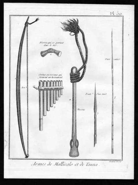
Approx. 1780 Tanna Island Vanuatu Weapon Australia Copperplate Antique Print
£26.19 Buy It Now 16d 6h
1800 Hemisphere Asian Asia Australia Copperplate Engraving
£71.36 Buy It Now 14d 5h
Tasmania Original Copperplate Map Cook 1780
£126.86 Buy It Now 7d 21h
1803 World Map Card America Asia Copperplate Antique Print Le Sage
£143.92 Buy It Now 4d 4h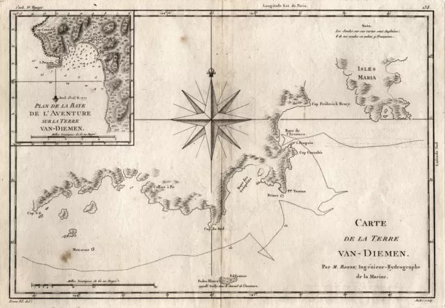
Tasmania Original Copperplate Map Bonne 1790
£126.86 Buy It Now 7d 21h
Tahiti Pacific French Polynesia Map Card Copperplate Engraving Bellin 1769
£62.14 Buy It Now 9d 7h
Hobart Tasmania Australia Engraving Map Copperplate Bertuch
£116.18 Buy It Now 3d 10h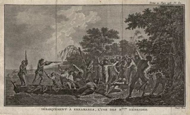
Vanuatu Erromango Original Copperplate Benard 1780
£84.57 Buy It Now 9d 3h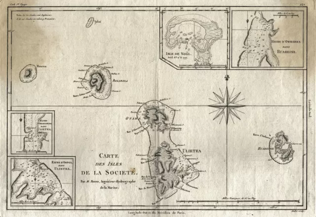
Polynesia Gesellschaftsinseln Original Copperplate Map Bonne 1790
£76.11 Buy It Now 7d 21h
Australia Oceania Original Copperplate Map Weiland 1834
£148.00 Buy It Now 7d 21h
Australia Oceania Original Copperplate Map Walch 1820
£118.40 Buy It Now 7d 21h
Australia Oceania Original Copperplate Map Walch 1823
£118.40 Buy It Now 7d 20h
Australia Oceania Original Copperplate Map Weiland 1838
£105.71 Buy It Now 7d 21h
French Polynesia Marquesas Islands Original Copperplate Benard 1780
£54.97 Buy It Now 9d 3h
Tasmania Original Copperplate Map Bernard 1775
£126.86 Buy It Now 7d 20h
Polynesia Gesellschaftsinseln Original Copperplate Map Cook 1769
£105.71 Buy It Now 7d 20h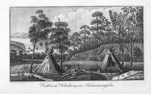
1820 - Solomon-Islands Archipelago Pacific Copperplate Engraving Map
£8.13 Buy It Now 5d 5h
Australia Oceania Original Copperplate Map Brockhaus 1837
£76.11 Buy It Now 7d 20h
1820 - Tongatapu Tonga Australia Pacific Ocean Map Oceania Original Copperplate
£8.11 Buy It Now 28d 1h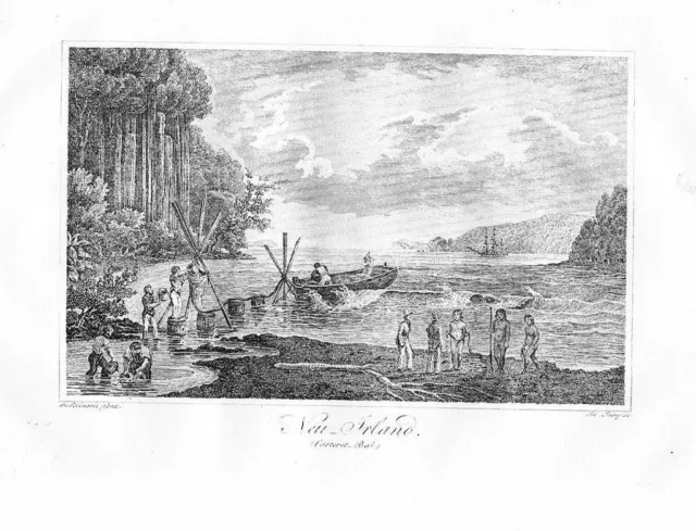
1820 New Ireland Papua New Guinea Original Copperplate Engraving Map
£8.14 Buy It Now 23d 8h
1820 Tongatapu Tonga Pacific Ocean Original Copperplate Engraving Map
£8.14 Buy It Now 23d 8h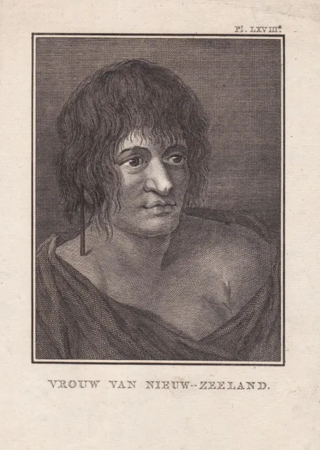
New Zealand New Zeland Woman Costume Engraving Copperplate 1780
£21.68 Buy It Now 16d 4h
New Zealand Warrior Traditional Costumes Engraving Copperplate Grasset 1780
£35.12 Buy It Now 16d 3h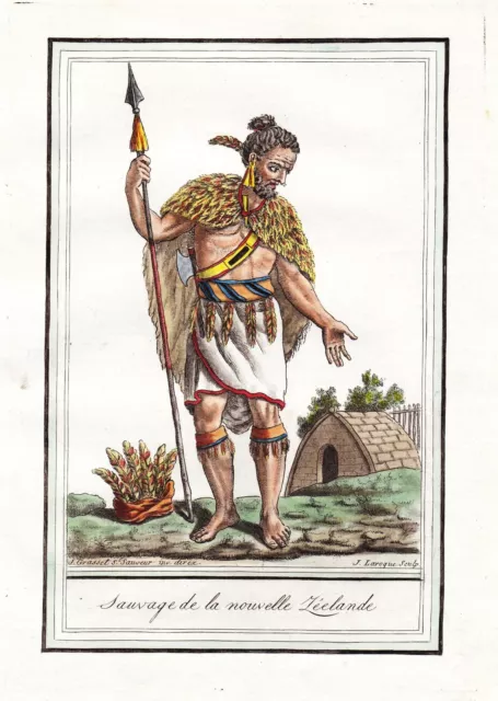
New Zealand Natives Traditional Costumes Engraving Copperplate Grasset 1780
£35.12 Buy It Now 16d 3h
Australia Oceania Original Copperplate Map Stülpnagel 1850
£63.43 Buy It Now 7d 20h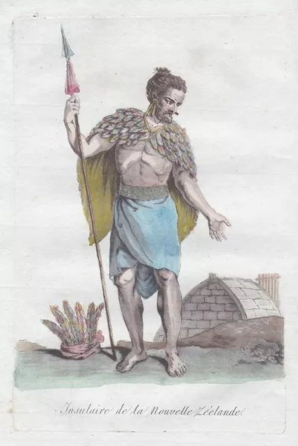
New Zealand New Zeland Native Costumes Costume Copperplate Engraving 1780
£21.54 Buy It Now 21d 8h
New Zeland Zealand Woman Costume Traditional Copperplate Engraving 1780
£26.11 Buy It Now 16d 3h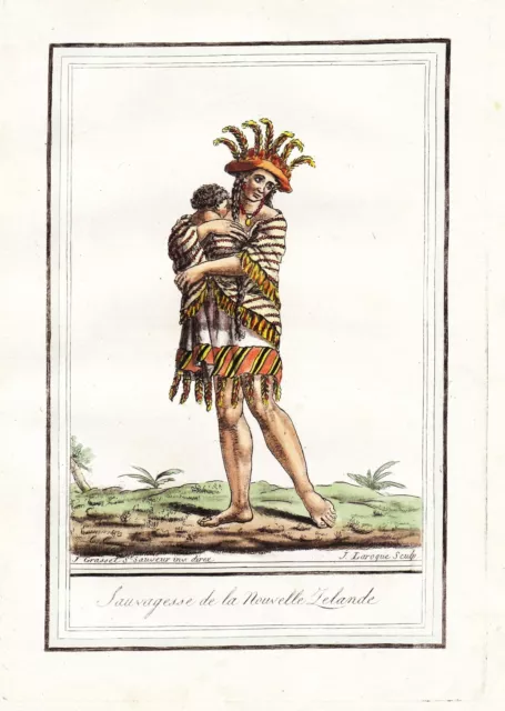
New Zealand Native Woman Traditional Costumes Engraving Copperplate Grasset 1780
£21.61 Buy It Now 16d 3h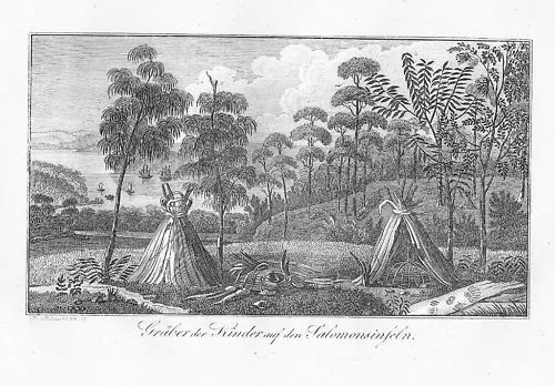
1820 - Solomon-Islands Archipelago Copperplate Engraving Map
£8.11 Buy It Now 3d 12h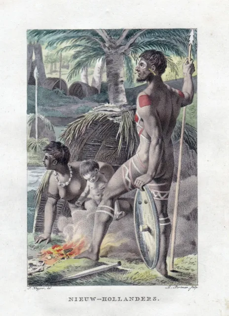
Australia Traditional Costumes Engraving Copperplate Kuyper Portman 1802
£21.61 Buy It Now 14d 4h
