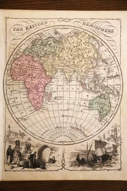
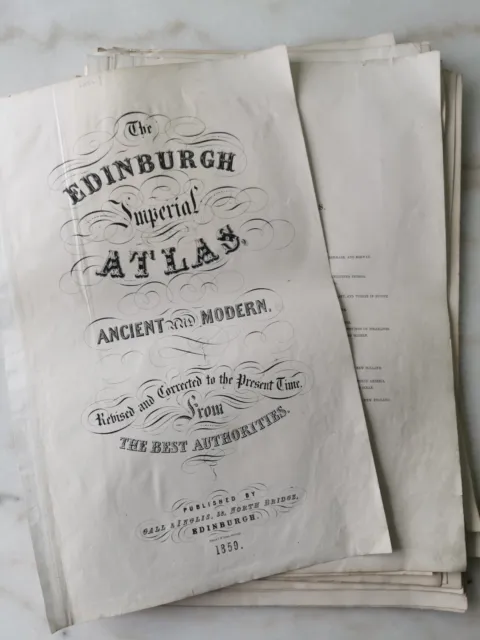
Collection of Antique Large Hand Coloured 1859 Edinburgh Imperial World Maps
Collection of Antique Large Hand coloured 1859 Edinburgh Imperial Atlas world maps
All loose with binding missing. Most measure approx 63 x 52cm
Spain and Portugal
Ancient Britannia
The world according to strabo
Ancient italia
Ancient Germania
Ancient graecia
France in provinces
France in departments
Hispania
Ancient world
Holland
Gallia
Egypt (1x small edge tears)
Ancient Egypt (1x small edge tears)
Belgium (7cm tear)
Europe (7cm tear)
The following 5 (similar size) were published with the George Phillips library atlas of ancient and modern geography 1856
Belgium
France in provinces
French in departments (small edge tear)
England and its railways (complete centre split)
Ireland and its railways (complete centre split and tatty)
Please study the many photos as they describe the item better than I can. For any further information please message me.
Myref9
- Antique: Yes
- Date Range: 1800-1899
- Type: World Atlas
- Format: Sheet Map
- Printing Technique: Lithography
- Year: 1859
- Era: 1800s
- Map View: World
- Original/Reproduction: Antique Original
- Cartographer/Publisher: Gall & Inglis
PicClick Insights - Collection of Antique Large Hand Coloured 1859 Edinburgh Imperial World Maps PicClick Exclusive
- Popularity - 0 watchers, 0.0 new watchers per day, 3 days for sale on eBay. 0 sold, 1 available.
- Best Price -
- Seller - 2,768+ items sold. 0.3% negative feedback. Great seller with very good positive feedback and over 50 ratings.
People Also Loved PicClick Exclusive

1859 Antique Cornell Atlas Map Of The Western World Hemisphere-Hand Colored
£5.62 Buy It Now 15d 13h
1859 Antique Cornell Atlas Map Of The Eastern World Hemisphere-Hand Colored
£5.62 Buy It Now 15d 13h
1872 Atlas Geography Antique Maps World America Europe Asia Africa UK Johnston
£80.31 Buy It Now 17d 2h
1865 Map Principal Countries of the Ancient World Black's Atlas Edinburgh Hughs
£31.73 Buy It Now 11d 1h
Indian Ocean showing steamer routes to India, China & Australia. WELLER 1859 map
£38.00 Buy It Now 4d 0h 1 watcher
1963 Hand Coloured & Signed Fashion Lithograph ex “Collection D’Avant Saison” #4
£84.02 Buy It Now or Best Offer 2 watchers
1963 Hand Coloured & Signed Fashion Lithograph ex “Collection D’Avant Saison” #3
£84.02 Buy It Now or Best Offer 3 watchers
1963 Hand Coloured & Signed Fashion Lithograph ex “Collection D’Avant Saison” #2
£84.02 Buy It Now or Best Offer 1 watcher
1963 Hand Coloured & Signed Fashion Lithograph ex “Collection D’Avant Saison” #7
£84.02 Buy It Now or Best Offer


