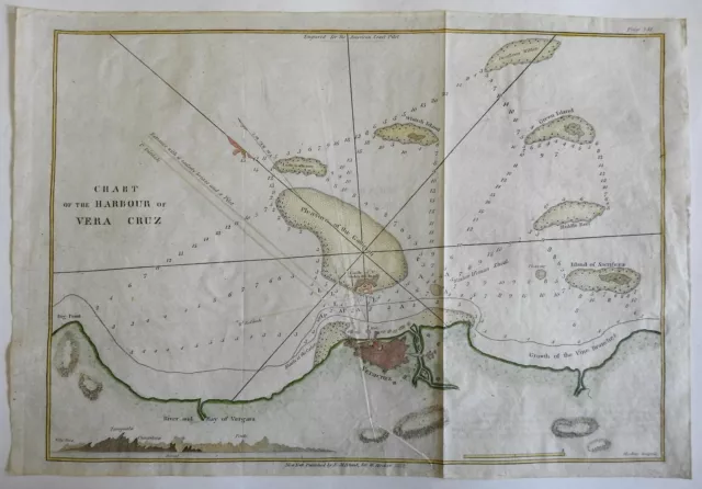
Vera Cruz Mexico Harbor Chart Military Fortifications 1850 Blunt coastal survey
Seller: oldmapsoldbooks ✉️ (11,966) 100%,
Location: Dover, New Hampshire, US,
Ships to: US,
Item: 124568292713
Vera Cruz Mexico Harbor Chart Military Fortifications 1850 Blunt coastal survey.
Vera Cruz Mexico Harbor Chart Military Fortifications 1850 Blunt coastal survey
Vera Cruz Mexico Harbor Chart Military Fortifications 1850 Blunt coastal survey
Chart of the Harbour of Vera Cruz. (North America, Mexico, Vera Cruz, Harbor Chart, Coastal Survey, Military Fortifications, Star Fort). Issued 1850, New York by E & G. W. Blunt.
Mid 19th century coastal survey map with lovely hand color.
Small profile view bottom left, some terrain features, outline plan of fort, many sounding depths and rhumb lines all impart a strong nautical feel.
Nice looking example, pleasing age patina, light offsetting, any minor age flaws easy to overlook or forgive.
Sheet Measures c. 14 1/4" H x 9 1/2"W. Engraved Area Measures c. 13 1/2" H x 8 1/4" W. Cartographic Reference(s): Tooley's Dictionary of Mapmakers, vol. 1. [R25369].
- Condition: Remains pleasing and worthy of ownership. Nice age patina. Please review images and description for full details.
PicClick Insights - Vera Cruz Mexico Harbor Chart Military Fortifications 1850 Blunt coastal survey PicClick Exclusive
- Popularity - 1 watcher, 0.0 new watchers per day, 1,161 days for sale on eBay. Normal amount watching. 0 sold, 1 available.
- Best Price -
- Seller - 11,966+ items sold. 0% negative feedback. Great seller with very good positive feedback and over 50 ratings.
People Also Loved PicClick Exclusive

1862 U.s. Coast Survey Chart Of St. Augustine Harbor Florida Large Map
£48.18 Buy It Now 19d 7h
Cape Ann Harbor Massachusetts Gloucester 1854 Blunt coastal survey chart map B/W
£40.16 Buy It Now 22d 1h
1850 U S Coast Survey Nautical Chart "Progressive Changes, Sandy Hook N. J."
£16.06 Buy It Now 14d 12h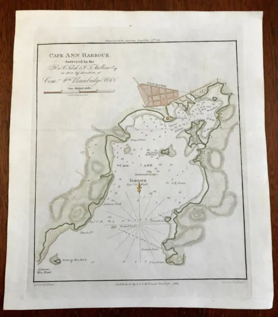
Cape Ann Harbor Massachusetts Gloucester 1854 Blunt coastal survey chart map
£61.04 Buy It Now 15d 5h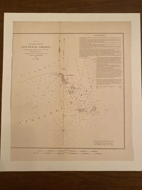
1850 US Coast Survey ,AD Bache Small Rare Map Of Hatteras Shoals North Carolina
£44.17 Buy It Now 19d 10h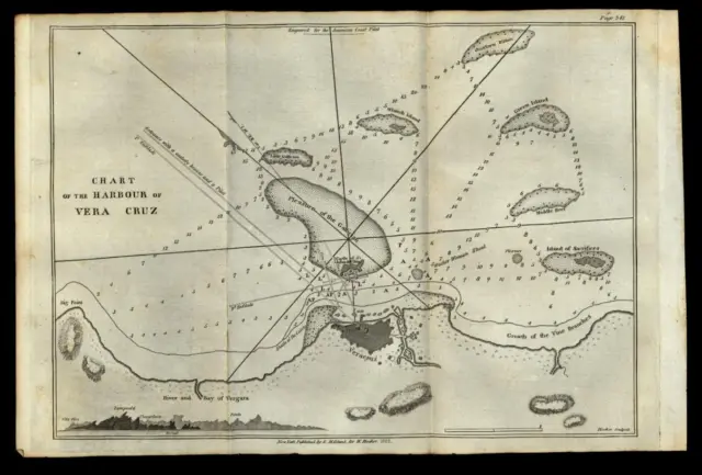 4 watchers
Vera Cruz Mexico harbor & city plan 1822 engraved detailed map
£68.27£54.62 Buy It Now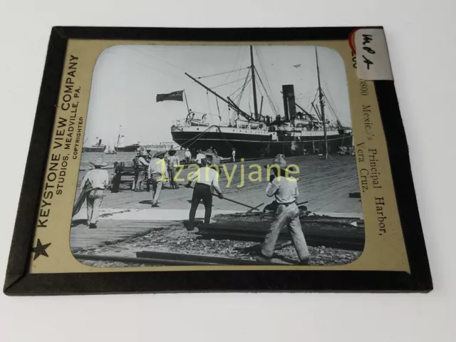
Glass Magic Lantern Slide MPA MEXICO PRINCIPAL HARBOR VERA CRUZ BRITISH SHIP
£18.94 Buy It Now or Best Offer
Mexico Vera Cruz, looking toward the harbor, Mexico Old Historic Photo
£5.29 Buy It Now or Best Offer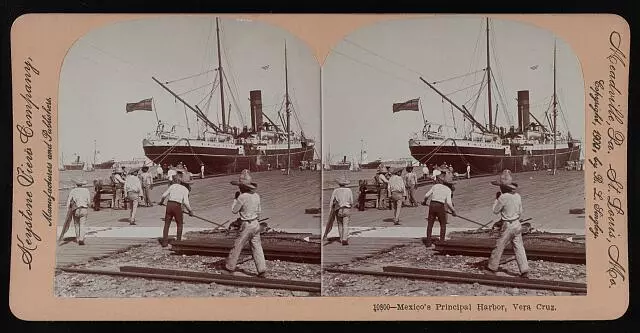
Mexico Mexico's principal harbor, Vera Cruz Old Historic Photo
£5.60 Buy It Now or Best Offer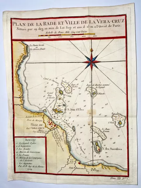 1 watcher
Vera Cruz Mexico 1754 Nicolas Bellin Antique Sea Chart 18Th Century
£104.41 Buy It Now or Best Offer
