Circa 1816 Arrowsmith Map: Canaan, Illustrating the Books of Joshua & Judges
£76.30 Buy It Now, Click to see shipping cost, eBay Money Back Guarantee
Seller: n4wdx ✉️ (1,410) 97%,
Location: Vero Beach, Florida, US,
Ships to: US & many other countries,
Item: 186215284243
Circa 1816 Arrowsmith Map: Canaan, Illustrating the Books of Joshua & Judges. "Drawn under the direction of M. Arrowsmith. Hall sculpt. Published for the Society for promoting Christian Knowledge, by M. Rivington, St Paul's Church Yard, London, May." Likely dates to 1816. Measures overall 11.25" x 8.75". M ap of the Holy Land showing the lands of the Bible, ranging from the Sinai to Sidon, and encompassing parts of modern day Egypt, Israel and Palestine, Jordan, Lebanon, and Syria. The map specifically focusses on the Land of Canaan at the time of the Old Testament Books of Joshua and Judges. The territories of the sons of Jacob are shown prominently, while a note below the title discusses the two main rivers identified with the biblical 'River of Egypt' by modern geographers.
The Society for promoting Christian Knowledge is the oldest Anglican mission organisation, having been founded in 1698 to spread knowledge of Christianity, in response to a perceived growth in 'vice and immorality' in late seventeenth century Britain. The Society aimed to promote Christianity through the publication of Christian educational material and the opening of schools and libraries. At present, it remains the largest publisher of Christian material in the United Kingdom.
The Arrowsmiths were a family of English mapmakers. The business was founded by Aaron Arrowsmith, Hydrographer to the Prince of Wales in c. 1810 and subsequently to the King in 1820. He was joined in 1810 by his nephew John Arrowsmith. After Aaron died in 1823, the business was continued by his sons Aaron Jr. and Samuel, who ran it until John took over the entire business.
- Condition: very good condition
- Date Range: 1800-1899
- Type: Thematic Map
- Printing Technique: Lithography
- Year: 1816
- Original/Reproduction: Antique Original
- Cartographer/Publisher: John Bartholomew
- City: Jerusalem
- Country/Region: Israel, Palestine
PicClick Insights - Circa 1816 Arrowsmith Map: Canaan, Illustrating the Books of Joshua & Judges PicClick Exclusive
- Popularity - 1 watcher, 0.0 new watchers per day, 120 days for sale on eBay. Normal amount watching. 0 sold, 1 available.
- Best Price -
- Seller - 1,410+ items sold. 3% negative feedback. Good seller with good positive feedback and good amount of ratings.
People Also Loved PicClick Exclusive

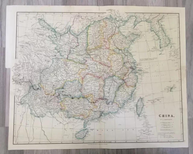
1843 Large Original Antique Map Of China Taiwan Korea By Arrowsmith
£64.25 0 Bids 7d 8h
Antique Map: Canaan - Tribes by William Hughes, Samuel Bagster & Sons, 1847
£9.50 0 Bids 6d 9h
Antique Map: Canaan - Patriarchal by William Hughes, Samuel Bagster & Sons, 1847
£9.50 0 Bids 5d 10h
c1860 Canaan Twelve Tribes to Elucidate the Old Testament W K Johnston Map Print
£39.95 Buy It Now 29d 14h
c1700 Paradise, Canaan, Babylon & Garden Eden by Halma ~ 14.7" x 10" Antique map
£60.24 Buy It Now 29d 9h


