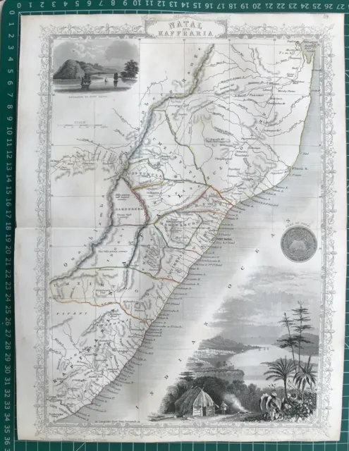
SOUTH AFRICA, NATAL, KAFFRARIA RAPKIN & TALLIS original antique map c1850
| ||||||||||||||||||||||||||||||||||||||||||||||||||||||
- Format: Sheet Map
- Region: Africa
- Antique/ Modern: Antique
- Map Type: Countries/ Borders
- Original/ Repro: Original
- Type: Antique
- Medium: Etching/ Engraving
- Etching/ Engraving Type: Line
PicClick Insights - SOUTH AFRICA, NATAL, KAFFRARIA RAPKIN & TALLIS original antique map c1850 PicClick Exclusive
- Popularity - 0 watchers, 0.0 new watchers per day, 1,311 days for sale on eBay. 0 sold, 1 available.
- Best Price -
- Seller - 15,642+ items sold. 0% negative feedback. Great seller with very good positive feedback and over 50 ratings.
People Also Loved PicClick Exclusive
1851 Antique Map; Africa, Natal & Kaffraria (South Africa)- John Tallis / Rapkin
£49.99 Buy It Now 7d 19h
EGYPT & ARABIA PETRAEA, AFRICA, original antique map, RAPKIN, TALLIS, 1851
£75.00 Buy It Now 5d 9h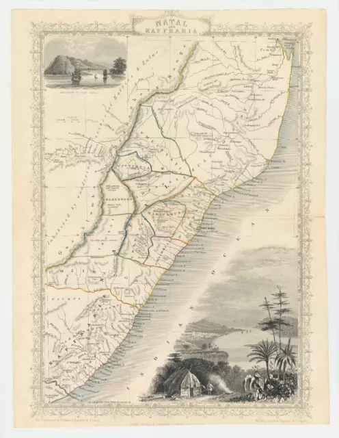
Antique Map "Natal and Kaffraria" (Eastern-South Africa) John Tallis, 1851
£70.00 Buy It Now 18d 14h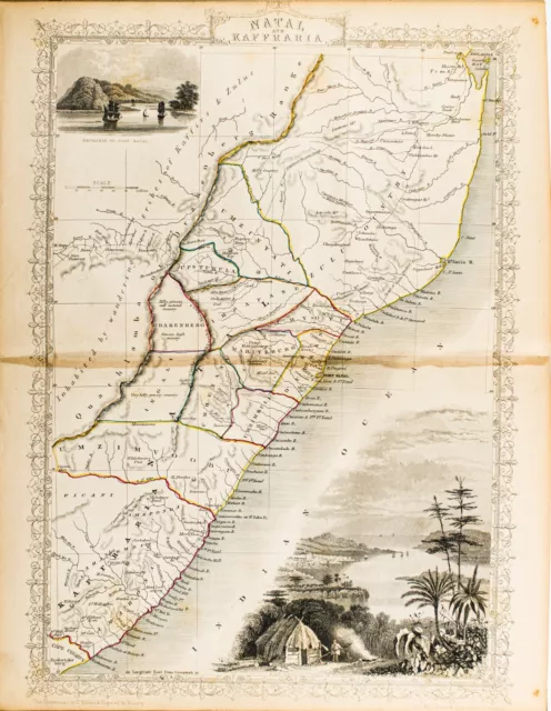
1851 SOUTH AFRICA NATAL KAFFRARIA ORIGINAL TALLIS RAPKIN MAP 11x14 WM20
£39.81 Buy It Now 25d 0h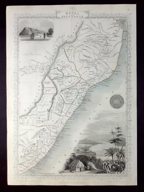
AFRICA, EASTERN CAPE, NATAL, DURBAN, original antique map, RAPKIN, TALLIS, 1851
£85.00 Buy It Now 1d 10h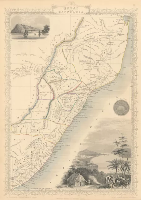
NATAL & KAFFRARIA. South Africa. Eastern Cape & Durban. TALLIS & RAPKIN 1851 map
£95.00 Buy It Now 18d 15h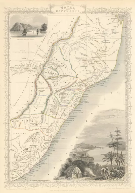
NATAL & KAFFRARIA. Eastern Cape. Durban. South Africa TALLIS & RAPKIN 1851 map
£95.00 Buy It Now 19d 21h
c1854 SOUTH AFRICA NATAL KAFFRARIA Genuine Antique Map by Rapkin
£9.99 0 Bids 8d 18h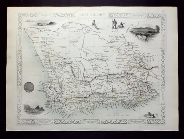
AFRICA, CAPE COLONY, SOUTH AFRICA, original antique map, RAPKIN, TALLIS, 1851
£90.00 Buy It Now 1d 10h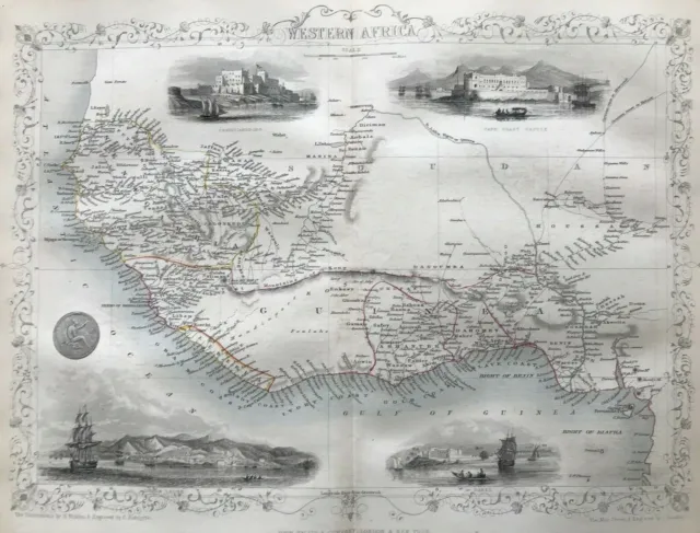
1851 Antique Map; Western Africa- John Tallis / Rapkin
£39.99 Buy It Now 7d 19h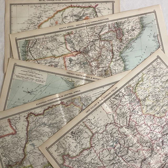
5 ANTIQUE PRINT MAPS AFRICA c.1906: North, Cape Colony, Natal, South, Central
£10.00 0 Bids 6d 22h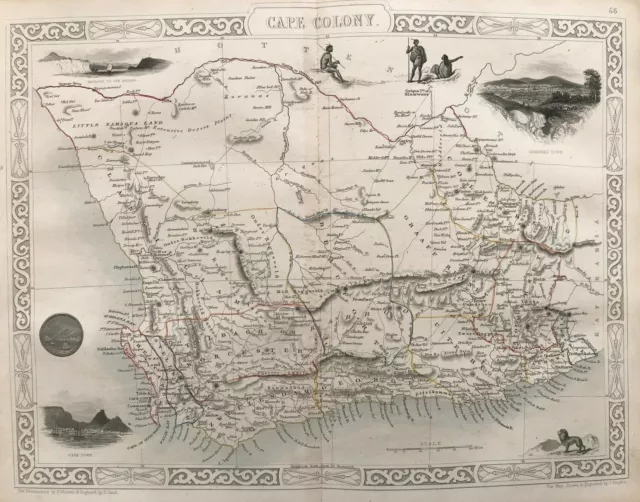
1851 Antique Map; Africa, Cape Colony (South Africa)- John Tallis / Rapkin
£79.99 Buy It Now 7d 19h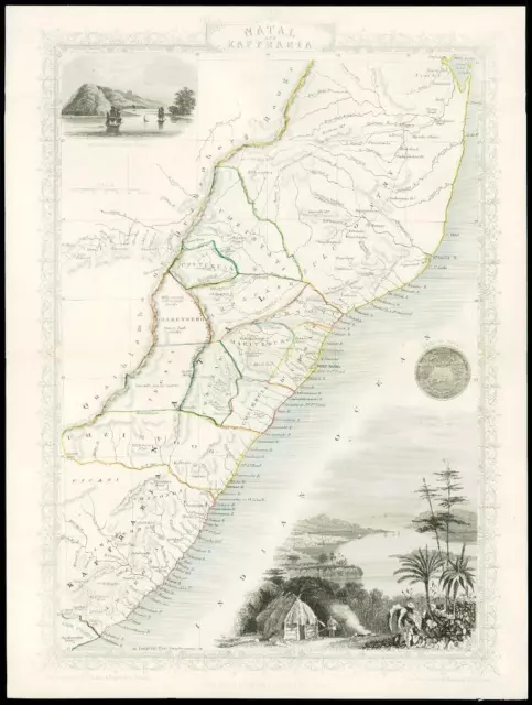
1851 "NATAL & KAFFRARIA" Original Antique Map Tallis PORT NATAL DURBAN (DW148)
£57.75 Buy It Now 20d 21h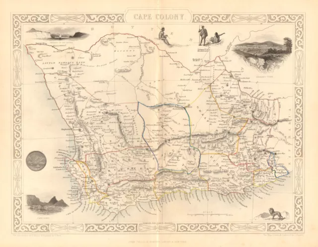
CAPE COLONY. Cape Town & Grahamstown views. South Africa.TALLIS/RAPKIN 1849 map
£85.00 Buy It Now 8d 19h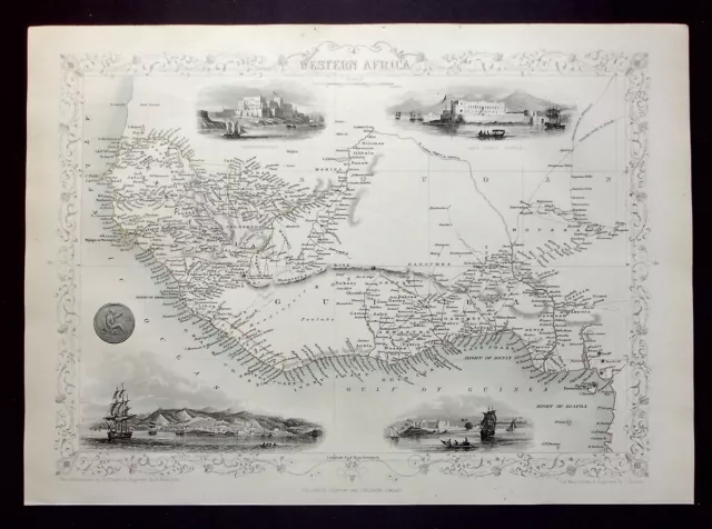
WESTERN AFRICA, SIERRA LEONE, original antique map, RAPKIN, TALLIS, 1851
£60.00 Buy It Now 1d 10h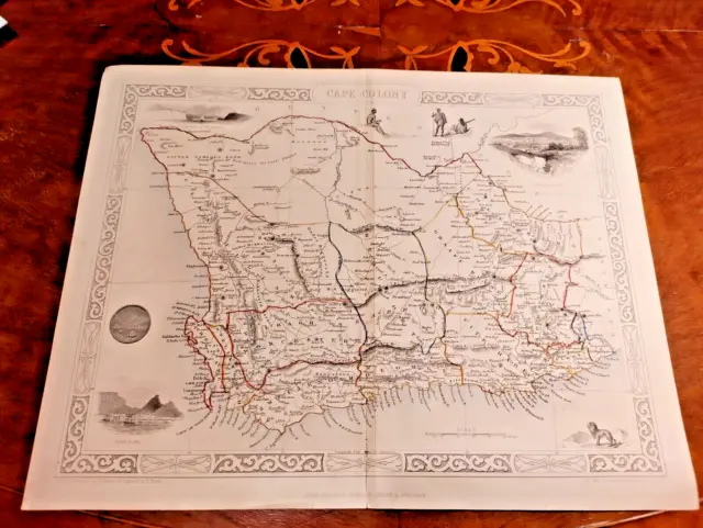
1851 John Tallis Cape Colony South Africa Map Print Antique Rapkin Hand Coloured
£59.95 Buy It Now 12d 0h
NORTHERN AFRICA, ALGIERS, TUNIS, original antique map, RAPKIN, TALLIS, 1851
£50.00 Buy It Now 5d 9h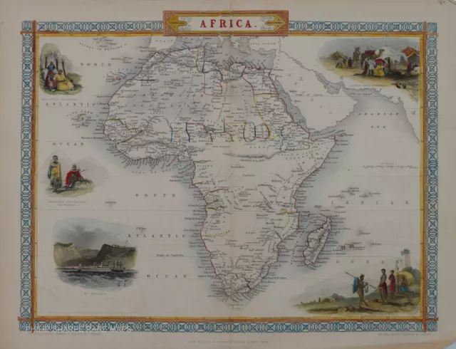
Genuine Antique Map - Africa By John Tallis Circa 1850
£185.00 Buy It Now 16d 16h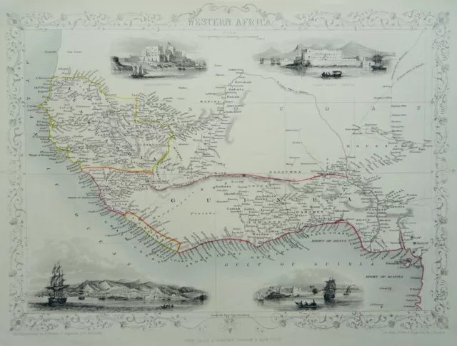
c1851 John Tallis Antique Map of WESTERN AFRICA Engraved by J. Rapkin
£60.00 Buy It Now 11d 1h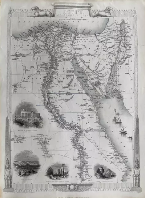
1851 Antique Map; Egypt, Nile Valley - John Tallis / Rapkin
£59.99 Buy It Now 15d 21h
NATAL & KAFFRARIA. South Africa. Eastern Cape & Durban. TALLIS & RAPKIN 1851 map
£95.00 Buy It Now 20d 15h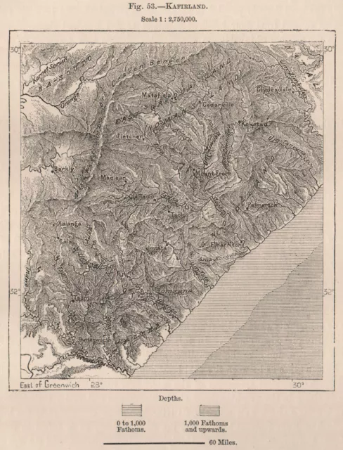
'Kafirland'. Eastern Cape. Kwazulu Natal. South Africa 1885 old antique map
£11.00 Buy It Now 14d 14h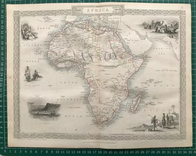
1851 Antique Map; Africa - John Tallis / Rapkin
£119.99 Buy It Now 7d 20h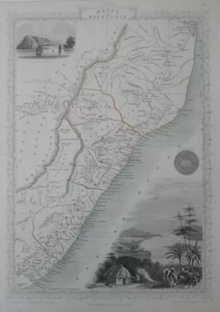
Original 1851 Tallis Map SOUTH AFRICA East Coast Natal Durban Zaffraria Zululand
£127.51 Buy It Now 2d 15h
Original antique map of the ISLANDS IN THE ATLANTIC Rapkin & Tallis 1851
£70.00 Buy It Now 6d 0h
c1854 WESTERN WEST AFRICA Genuine Antique Map by Rapkin Outline Hand Colouring
£9.99 0 Bids 8d 16h
c 1835 Levasseur Map - South Africa Madagascar Angola Mozambique Zanzabar Natal
£12.75 Buy It Now 28d 17h
AFRICA, MADAGASCAR, original antique map, RAPKIN, TALLIS, 1851
£145.00 Buy It Now 1d 10h
Antique Tallis map of Northern Africa, Morocco, Algeria, Tunisia by Rapkin 1851
£42.15 Buy It Now 10d 7h
1851 WESTERN AFRICA CAMEROON SIERRA LEONE ORIGINAL TALLIS RAPKIN MAP 11x14 WM17
£55.75 Buy It Now 24d 23h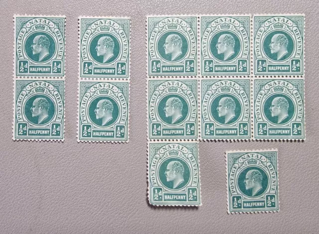 1 watcher
SOUTH AFRICA - Natal EDVII SG127, ½d blue-green, Block and Vertical, 1902
£15.00 Buy It Now or Best Offer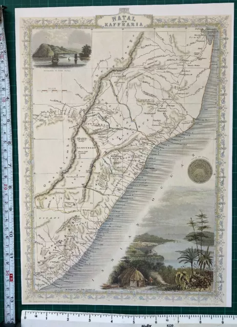 2 watchers
Antique vintage Picture map 1800s Natal & Kaffraria South Africa Tallis Reprint
£5.99 Buy It Now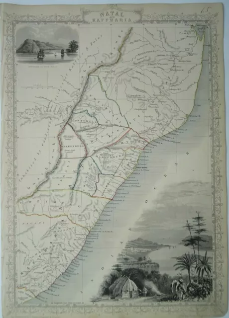
Antique map of Natal, South Africa by John Tallis 1851
£55.00 Buy It Now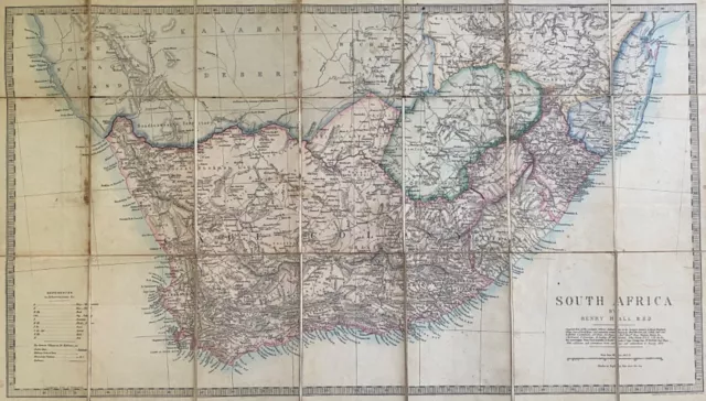
EDWARD STANFORD 1874 MAP SOUTH AFRICA Henry Hall Cape Natal COLONIAL CARTOGRAPHY
£25.00 Buy It Now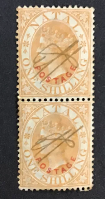
NATAL 1888 VF CanceledSc# 76 Pair Pen Cancel Gum Toning (W38)
£5.69 Buy It Now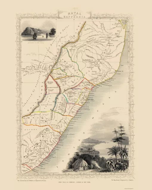
Natal Kaffraria South Africa - Tallis 1851 - 23.00 x 28.83
£90.81 Buy It Now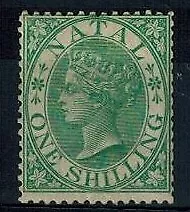 1 watcher
Natal 1s Green Mint Original Gum F/VF S.G. 25 CV L 250
£114.77 Buy It Now or Best Offer
Zulu-Land by Lewis Grout. 1864 1st Antique relic. 351. illus. Missionary.
£179.33 Buy It Now
Natal And Kaffraria - Finely Engraved Tallis / Rapkin Map, 1851, Fine Vignettes
£85.00 Buy It Now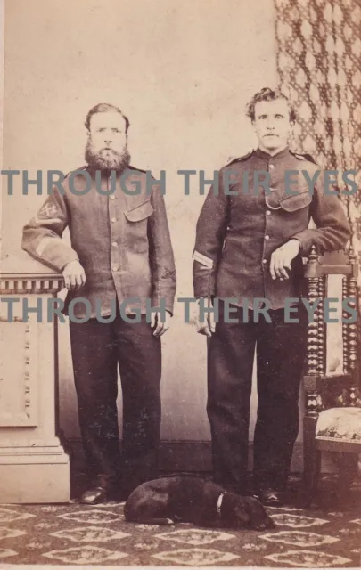 1 watcher
Original CDV photo soldiers posing with dog Maritzburg Natal South Africa 1870s
£75.00 Buy It Now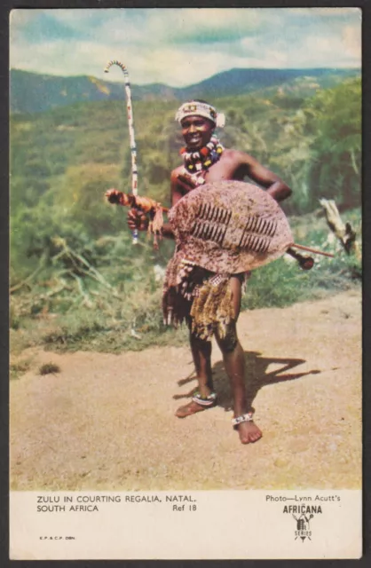
SOUTH AFRICA postcard Zulu in courting regalia, Natal
£2.95 Buy It Now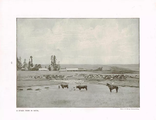
Natal South Africa Stock Farm Antique Picture Print 1906 TKE#232
£5.99 Buy It Now
CRADLE DAYS OF NATAL 1497-1845 Mackeurtan 1930. South Africa, Zululand, Boers
£14.99 0 Bids or Buy It Now 2d 23h
NATAL 1857 Embossed 9d, imperf, original die reprint. cat £9500 as normal.
£33.46 Buy It Now
South Africa Postcard Natal Carbineers Trucking Horses c1930's RPPC Photo
£28.64£18.62 Buy It Now or Best Offer
1907 Natal South Africa Rifle Bugle Violinist Wagon Cart RPPC Photo Postcard
£47.77£23.88 Buy It Now or Best Offer
